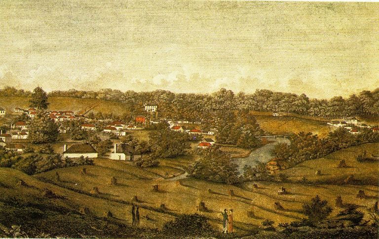
In 1809 the next allotment west from Thomas Halfpenny’s was Michael Murphy; as Murphy had no official lease, he must have held the lot by permissive occupancy. Michael Flynn has identified Murphy as an emancipated Irishman who came to the colony on the Friendship in 1800 and was assigned to a Michael Donovan (Dunnavan) (b. c176- Boddingtons-1793) in the Hawkesbury District.
Donovan was living with an Eleanor Lawler (b. c1768 Marquis Cornwallis, 1796) and they moved to a prosperous farm at Prospect in 1806. When Donovan separated amicably from his wife and returned to England towards the end of 1809, he sold his property and settled £207 in cash on his de facto wife. Lawler promptly took up with Murphy as her de facto husband.
Murphy, who had been apparently pardoned, was granted 200 acres between Parramatta and Prospect on Prospect Road in 1809 and they used Lawler’s money to build a house, stock and improve the farm. They left an overseer to run the property and lived in Parramatta township on a lot next to Halfpenny. It is thought that Murphy may have operated an inn from the site. Unfortunately the couple were charged with receiving stolen cattle and on conviction, were both sent to the penal colony at Newcastle.
Murphy had been allowed to return to Parramatta by December 1814 and was pardoned in January 1815. He was looking after Lawler’s four daughters whilst she was continually in and out of the Newcastle penal settlement. In his will, Murphy left his estate to the girls, for equal distribution when they attained the age of 21. Murphy died and was buried at St John’s cemetery on 5 May 1819, aged 49 years.
Lawler became custodian of the two younger girls (the two eldest had married) and complained to the governor that Murphy’s executor had sold some of the sequestered property without her knowledge or permission, and that she needed that money to raise the two daughters. She was advised to take the matter to court but the outcome is unknown.[1]
Numerous other houses are shown on the map of the riverbank but Evans does not identify the occupiers. On the orders of Governor Macquarie, High Street, was renamed George Street and realigned by Surveyor James Meehan in 1810. A comparison of the Evans survey map, with Meehan’s map shows that George Street, once straight, bends at Charles Street (planned in 1815) and on the north side, the alignment was moved south. The width of George Street was reduced from 205 ft to its present width. This also allowed an additional street to be planned, which Macquarie named for Governor Phillip. New lots were designated by Governor Brisbane on 8 May 1823 who declared then that new leases had to be applied for and he set out conditions for converting them to grants
References
[1] M. Flynn, Research report ‘Aspects of Parramatta Riverside History in the Early Colonial Period’ for Parramatta City Council, Oct 1994. u.p
![]() By John McClymont, Parramatta Historian, unpublished work, Parramatta Council Heritage Centre, 2014
By John McClymont, Parramatta Historian, unpublished work, Parramatta Council Heritage Centre, 2014


