Details.
Hammers Road Reserve:
51B Hammers Road, Northmead NSW 2152, Owned by City of Parramatta as Community Land
51C Hammers Road, Northmead NSW 2152, Owned by Sydney Water as a potential location of Sewage Treatment plant. The treatment plant is no longer planned for the site due to long term flood risks.

Facilities
|
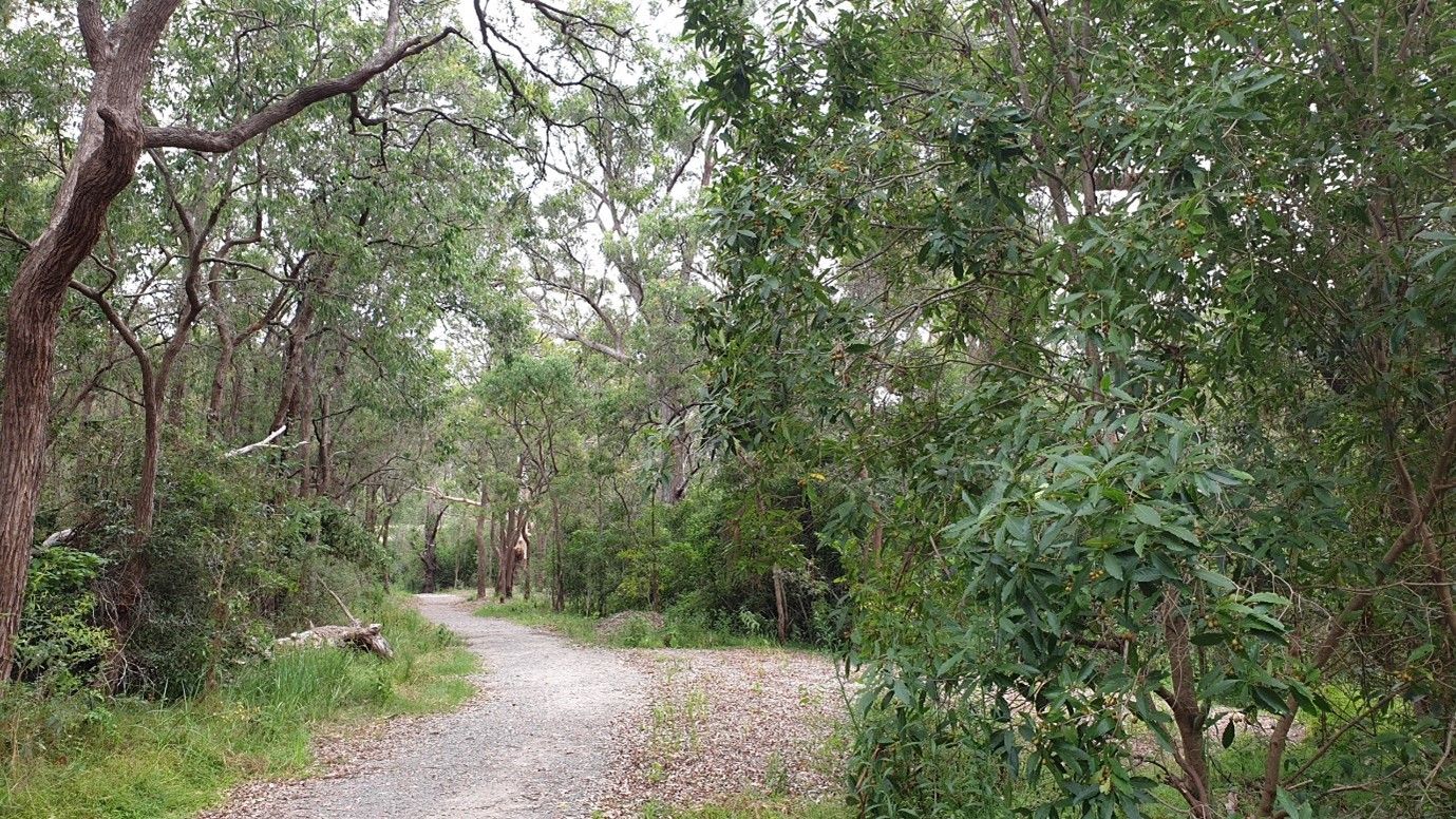
Bushwalking Track |
Habitat Boxes |
History.
Possibly a junction point, of three Dharug family groups. Hammers Road Reserve is at the confluence where Quarry Branch Creek meets Toongabbie Creek. Quarry Branch creek extends up into Baulkham Hills, which is the land of the Bidjigal. Toongabbie Creek is sourced from Prospect Hill and Blacktown which is the lands of the Toogagal and Toongabbie Creek runs south in to Parramatta which is the lands of the Burramatta clan. Clan or family groups in Dharug language, has -gul at the end of the region; for example Burramattagul are the people of Burramatta. The clan names are based on the J. Goodrum map below.

Prior to expansion of the colonies and spread of European Small Pox, the Hammers Road Reserve region and the confluence of the creeks would have represented a significant land mark. With shallow rock pool foods, such as freshwater crayfish and crystal clear drinking water coming from Quarry Branch Creek. Tannin filled pools of Eel, Perch, Brim, reeds and Platypus were features of Toongabbie Creek. The last Platypus was taken dead from Toongabbie Creek in the 1940s.
After colonisation Hammers Road Reserve became a major source of sandstone and contained the Moxhams Families largest quarry. The Moxhams also had nearby quarries in Hood Street and Whitehaven Road, Northmead, while the Pye Family and Hourigan Family had other quarries in the area.
Several un-named roads linked the quarries to Windsor Road and Old Windsor Road using cut stone fords and wooden bridges to cross the creeks. Moxhams Road is the best representative of the original fords and latter wooden bridges of the area. Hammers Road had a curving wooden bridge ‘pictured’ which has been replaced by todays higher concrete and steel bridge span.
Hammers Road is named after John George Hammer of Wurttemberg, Germany, who arrived in Sydney in 1856. Hammers Road is the northern boundary of lot 112 of the Old Government Domain, purchase by John in 1861 where he farmed and raised a family. His sons inherited houses build along the Hammer’s road after John drowned in Toongabbie Creek in 1873 and was buried in Mays Hill Cemetery. Also in 1865, the Hammer’s family home in Harrison Street, Old Toongabbie was held up by the Bushrangers, John, Joseph and Thomas Ruston.
Vegetation.
Hammers Road Reserve contains a mixture of the Critically Endangered Ecological Communities, Sydney Turpentine Iron-bark Forest and Cumberland Shale Plain Woodland. These two vegetation communities were dominant from the Blue Mountains to Lane Cove and are now confined to small pocket parks and along creek systems.
Hammers Road reserve is dominated by the following species.
Trees.
Angophora floribunda, Eucalyptus saligna, Eucalyptus paniculata, Syncarpia glomulifera.
Shrubs.
Acacia parramattensis, Breynia oblongifolia, Bursaria spinosa,
Ground covers.
Entolasia stricta, Microleana stipoides, Imperata cylindrica
A full species list of Sydney Turpentine Iron-Bark Forest and Cumberland Shale Plain Woodland and recovery plans can be found at.
Community:
Hammers Road Reserve contains a historic sandstone quarry which was later used as an unregulated local tip site. Bushcare Volunteering is not permitted in Hammers Road Reserve at the risk of exposing contamination.
Sydney Water is currently monitoring subsoil sampling.
Acknowledgements
Dharug Clan Map. With appreciation of J Goodrum in Mulvaney, D J & White, J Peter 1987, Australians to 1788, Fairfax, Syme & Weldon Associates, Broadway, NSW, Australia, p. 345.


