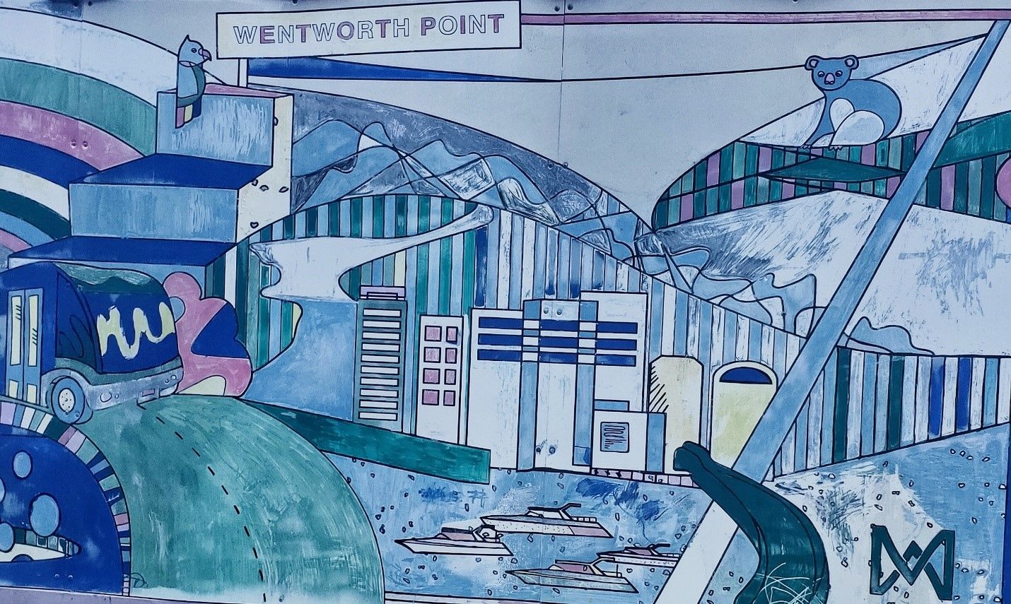
The suburb of Wentworth Point is bounded by Parramatta River in the north, Homebush Bay in the east, Haslams Creek and Bennelong Parkway in the south, and Hill Road, Burroway Road and the suburb of Sydney Olympic Park in the west.[1] For more information, read our brief history on Wentworth Point here[2]
The table below is a compilation of how the public streets of Wentworth Point received their names. In June 2014, the NSW State Government rezoned and endorsed Wentworth Point as an Urban Activation Precinct due to its location as part of the broader Sydney Olympic Park Specialised Precinct. Existing streets such as Hill Road, Burroway Road and Ridge Road surrounding the street network were aligned and integrated into the planning reports[3].
|
Name |
Origin & Meaning |
Source |
|||
|
Amalfi Drive |
Named after an area in Italy with the same name. |
Wikipedia. (2020). Amalfi |
|||
|
Baywater Drive |
Given this street's proximity to the Parramatta riverbank, the name was most likely given as a marketable yet descriptive term; and in reference to the maritime history of the area. |
||||
|
Bennelong Parkway |
Named after an interlocutor named Bennelong (c1764-1813) who was an Aboriginal man from the Wangal clan. Bennelong learned to speak English and established a friendly relationship with Governor Phillip and his wife, to whom he wrote a letter in English, the first document written in English by an Aboriginal Australian. |
Wikipedia. (2020). Bennelong. |
|||
|
Burroway Road |
Road named possibly as a reference to the Maritime Services Board dredge "Burroway" (1914-c.1960) which operated in and around Homebush Bay |
Andrews, G. (1950). Maritime Services Board dredge BURROWAY works in Homebush Bay, City of Sydney Archives & History Resources, A-00084290 and A-00084291 Sydney Heritage fleet (2020). The Maritime Services Board of NSW. |
|||
|
Corniche Drive |
Functional description. This Drive obtains its name from the word Corniche that can be defined as 'a road cut into the edge of a cliff, especially one running along a coast.' |
Google Dictionary. (n.d.). 'Corniche' |
|||
|
Footbridge Boulevard |
Functional description of this street as it leads onto Bennelong Bridge (formerly Homebush Bay Bridge). |
||||
|
Half Street |
unknown |
||||
|
Hill Road |
An extension of the existing Hill Road from Sydney Olympic Park. Hill Road is named after Phillip Stanley Hill, former member and from 1 January 1972, Chairman of the Metropolitan Meat Industry Board. The original Hill Road was part of the Homebush State Abattoir subdivision and streets were named based on people connected with the meat industry in the 1960s. |
State Library NSW. (1878-1935) Plan of Proposed Subdivision of Part of Homebush Abattoirs, [Auburn subdivision plans], 411 - Z/SP/A10/398 |
|||
|
Marine Parade |
Most likely named due to this street's vicinity to the riverbank and in reference to the maritime history of the area. |
||||
|
Monza Boulevard |
Named after a city in Northern Italy |
Collins. (2020). Definition of 'Monza', Collins Dictionary |
|||
|
Nuvolari Place |
This place inherits its name from the Italian race car driver Tazio Nuvolari (1892-1953). |
Lloyd, A. (2016). "The Legend of Tazio Nuvolari", Road & Track |
|||
|
Park Street North |
Possibly a destination reference to Sydney Olympic Park and nearby parks in the north-west of the precinct |
||||
|
Savona Drive |
This drive refers to Savona, a port city in North-western Italy. |
Wikipedia. (2020). 'Savona'. |
|||
|
Strombol Square |
A park located between Stromboli Strait and The Promenade. Its name is most likely an alternate spelling of Stromboli. |
||||
|
Stromboli Strait |
This strait adopts its name from the food item Stromboli, an Italian bread filled with cheese or meat. |
Wikipedia. (2020) 'Stromboli' |
|||
|
The Crescent |
Most likely, a descriptive term given the shape and nature of this street. |
||||
|
The Piazza |
|
PAYCE (n.d.). The Waterfront |
|||
|
The Promenade |
|
PAYCE (n.d.). The Waterfront |
|||
|
Waterways Street |
The name was most likely given as a marketable yet descriptive term and in reference to the maritime history of the area. |
||||
|
Wentworth Place |
Previous name: Ridge Street |
Anne Tsang, Research Assistant and Neera Sahni, Research Services Leader, Parramatta Heritage Centre, City of Parramatta, 2020.
Disclaimer: we have tried our best to provide a reason behind how these public roads and streets in Wentworth Point listed got their names but should there be any discrepancies or if you can help us fill in the gaps, please contact us using our online enquiries form.
References
- .id consulting & City of Parramatta. Westmead. In City of Parramatta : Community profile. https://profile.id.com.au/parramatta/about?WebID=340
- Stockburn, E. (2020). Wentworth Point - a brief history. https://historyandheritage.cityofparramatta.nsw.gov.au/blog/2020/02/11/wentworth-point-a-brief-history-2
- State of New South Wales and Department of Planning, Industry and Environment. (2019). Wentworth Point. https://www.planning.nsw.gov.au/wentworthpoint


