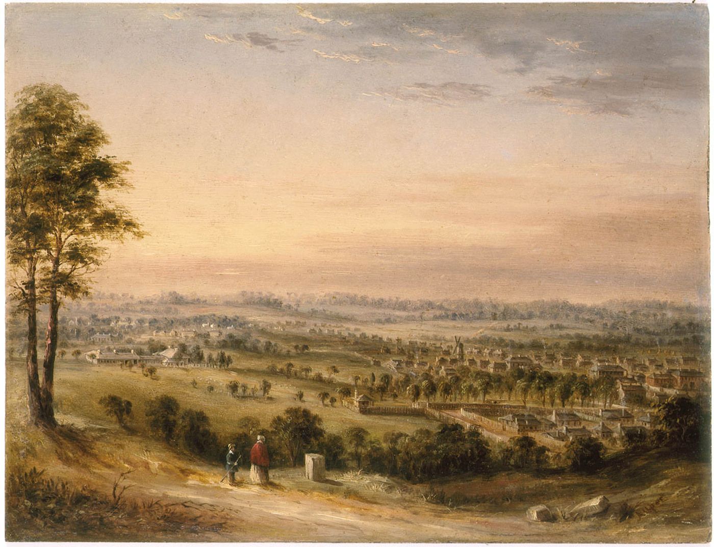
Mays Hill is a small suburb to the south-west of Parramatta CBD, the area is administered by Cumberland Council and the City of Parramatta. The boundaries of the triangular shaped suburb are the Great Western Highway, Steele Street, Banks Street, Burnett Street and the Western Motorway, however only the easterly portion of the suburb of Mays Hill lies within the Parramatta LGA.
For more information here is our brief history of Mays Hill.
|
Name |
Origin & Meaning |
Source |
|
Banks Street |
Acknowledging Sir Joseph Banks (1743-1820), botanist with Captain Cook, part of a street naming theme used in the subdivision. |
Wikipedia: Joseph Banks |
|
Banks Lane |
Acknowledging Sir Joseph Banks (1743-1820), botanist with Captain Cook, part of a street naming theme used in the subdivision. |
PCC Street Name Register.pdf |
|
Belinda Place |
A number of streets in the area have female first names. |
|
|
Burnett Street |
Created in 1892. Source unknown but appears in the announcement of new homes for May Hill in 1947. And the 1920 Parramatta Heights subdivision. |
33 Brick Homes For May's Hill (1947) http://nla.gov.au/nla.news-article105741959 |
|
Coleman Street |
Appears as the boundary to Burda Park Estate, Westmead which was auctioned off on Saturday 14 March 1925 at 11:30am by W. F. Jago in conjunction with Messrs. Craig and Herring. |
State Library NSW Burda Park Estate [Westmead subdivision plan], Z/SP/M12/10 |
|
Franklin Street |
No source of name known but it is one of the streets surrounding Mays Hill Cemetery. The street can also be seen on the Plan of allotments in sections no.s 30 to 43 in town of Parramatta : Parish of St John County of Cumberland New South Wales 1857. |
|
|
Good Street |
Possibly named after John Good. Mayor for the year 1869 and alderman 1862, 1868, 1870. Died 17th July, 1875. Actually in Westmead. |
|
|
Great Western Highway |
A toll gate on the Western Rod was opened up in Mays Hill in 1817. |
Holroyd: Pictorial History |
|
Houison Street |
Named after one of the early pioneering families and prolific Parramatta colonial architect James Houison. |
Parramatta History and Heritage: James Houison |
|
Margaret Street |
Follows the trend of female first name for streets in the area. Seen in the Shannon's Estate - Parramatta Heights subdivision of the 1920’s. |
|
|
Napier Street |
Possibly named after General Sir Charles James Napier. He was an officer and veteran of the British Army's Peninsular and 1812 campaigns, and later a Major General of the Bombay Army. |
Wikipedia: Charles James Napier |
|
Patricia Street |
One of the first times seen in the 1926 NSW St John Parish Cumberland Map. Houses on this street developed as part of the September 1947 State Housing Commission Project no. 734. Naming follows a trend of female first names. |
More homes for district (1949, September 21). The Cumberland Argus and Fruitgrowers Advocate p. 8. http://nla.gov.au/nla.news-article111530107 |
|
Peggy Street |
One of the first times seen in the 1926 NSW St John Parish Cumberland Map. Houses on this street developed as part of the September 1947 State Housing Commission Project no. 734. Naming follows a trend of female first names. |
More homes for district (1949, September 21). The Cumberland Argus and Fruitgrowers Advocate, p. 8. http://nla.gov.au/nla.news-article111530107 |
|
Rees Street |
Possibly named after the artist Lloyd Rees who depicted many landscapes of the Parramatta area and also Mays Hill. |
Wikipedia: Lloyd Rees. |
|
Robilliard Street |
One of the first times seen in the 1926 NSW St John Parish Cumberland Map Possibly named after one of the early pioneering families. Prominent in the community of Parramatta in the late 1800’s to early 1900’s. |
Family Notice: Mr J R Robilliard |
|
Steele Street |
Steele is a surname of early pioneers to the Parramatta area. It Is one of the streets that surrounds Mays Hill Cemetery. Which is on Land maps in 1909. There is also a Boundary stone along Steele Street. |
|
|
Western Motorway |
A toll gate on the Western Rod was opened up in Mays Hill in 1817. |
![]()
Emma Stockburn, Research Facilitator Family History & Neera Sahni, Research Services Leader, Parramatta Heritage Center, City of Parramatta, 2021
Disclaimer: we have tried our best to provide a reason behind how these public roads and streets in Ermington listed got their names but should there be any discrepancies or if you can help us fill in the gaps, please contact us using our online enquiries form.
References:
Mays Hill - A Brief History: https://historyandheritage.cityofparramatta.nsw.gov.au/research-topics/suburbs/mays-hill-brief-history


