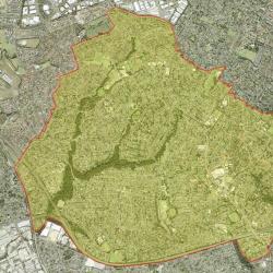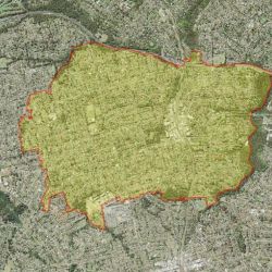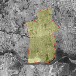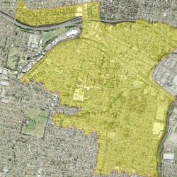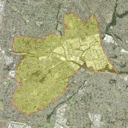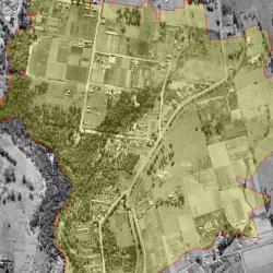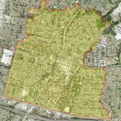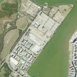
The City of Parramatta is located in Sydney's western suburbs, about 24 kilometres from the Sydney CBD. The City of Parramatta is bounded by The Hills Shire and Hornsby Shire in the north, the City of Ryde and the City of Canada Bay in the east, the Strathfield Council area and the Cumberland Council area in the south, and Blacktown City in the west. The 2021 Estimated Resident Population for the City of Parramatta is 258,799, with a population density of 3,090 persons per square km.
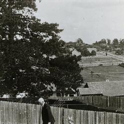
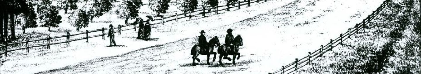
The story of the suburbs of Parramatta begins with the settlement of Rose Hill itself. It was never a suburb of Sydney Town but a companion penal encampment. Sometimes a settlement, when it grows from a local or ‘village’ to a town, annexes the settlements at its periphery as its suburbs through offering convenient services. Suburbs are mostly residential, relying on a town or city centre for centralised business, transport, educational, legal, health and administrative affairs.
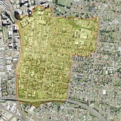
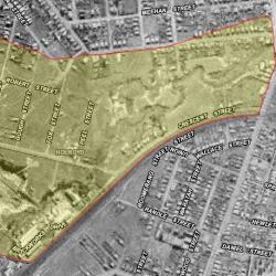
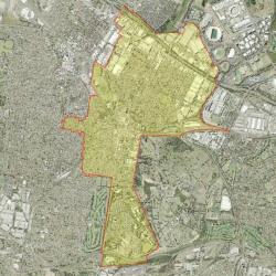
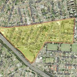
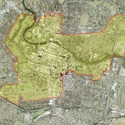
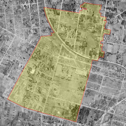
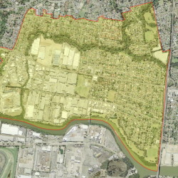
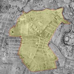
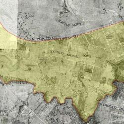
Now Parramatta Local Government Area has 5 wards and 39 suburbs. Read the history of these suburbs below: